 |
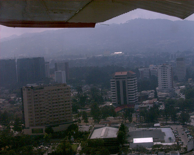
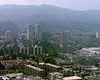
We took-off from Guatemala International Airport in a
rented Cessna. This is the same airport that the commercial airplanes
use. It only has one runway. This is a picture of the city just after
take-off. |
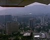 |
Guatemala City. |
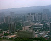 |
Guatemala City. |
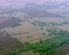 |
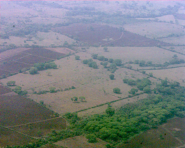
After crossing the mountain range just west of the City,
we flew over the western coastal plains and headed north. There is a lot
of agriculture here. |
 |
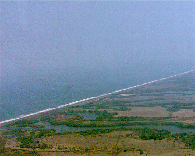
After a while, we turn toward and reached the Pacific
Ocean. |
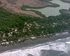 |
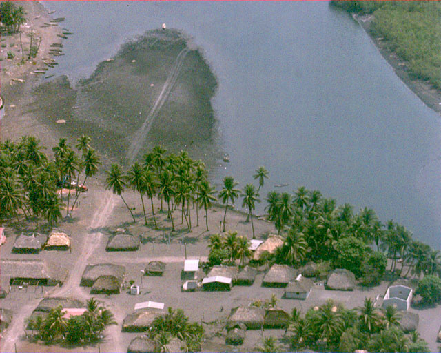
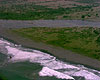
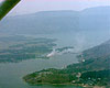
A small coastal community about 100nm north of San Jose,
Guatemala. |
 |
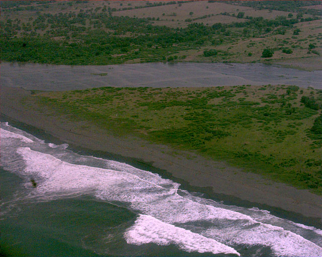
We suspected that this was a spot where shrimp were
harvested. |
 |
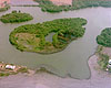
There are many rivers that flow down to the Pacific from
the mountains. |
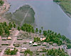 |
A small fishing town. |
 |
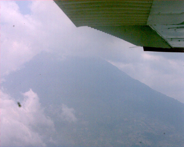
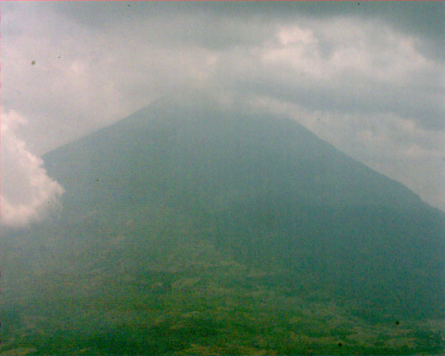
Passing back through the mountains (volcanoes) on our way
back. |
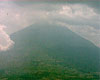 |
Many of these mountains are over 12,000 feet tall. The
tallest is 14,500 feet. |
 |
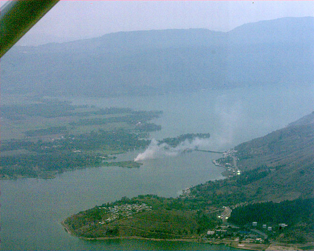
Coming out of the mountains, back to Guatemala City. The
City is over 5,000 feet above sea level. |
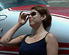 |
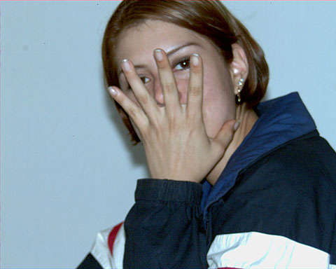
Nancy relaxing after the flight. We flew for a little more
than 2.5 hours. |
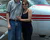 |
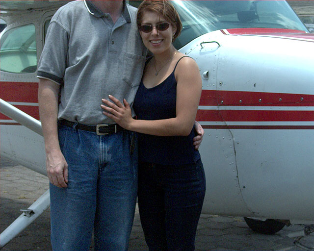
The pilot (Howard) and Nancy. (Howard is to tall for this
photo!) |
 |
|
| |
Next...Howard leaves for
California... |